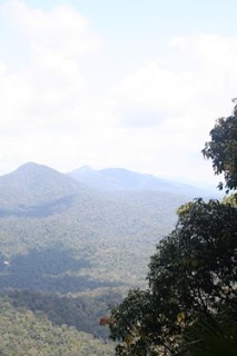
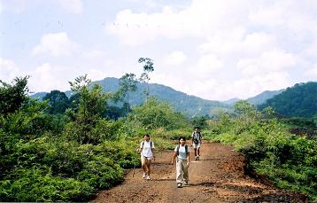
Are you bored of typical mall shopping and picnic in parks? Are you up for some slightly extreme activity? Come and try mountaineering then! Climb up to its peak and experience that-gratifying-experience when you’ve reached the peak. Climb these mesmerizing mountains you can find in Johor!
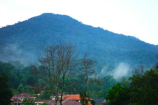
1.Gunung Banang, Batu Paha
Location : Batu Pahat, Johor
Coordinate : 1°48’44″N 102°56’6″E
Average Elevation : 1,402 ft. / 432.38 m
2. Gunung Bekok
Location : Chaah, Segamat, Johor
Coordinate : 2° 23′ 14.3”N 103° 10′ 51.6”E
Average Elevation : 3,123 ft. / 953 m
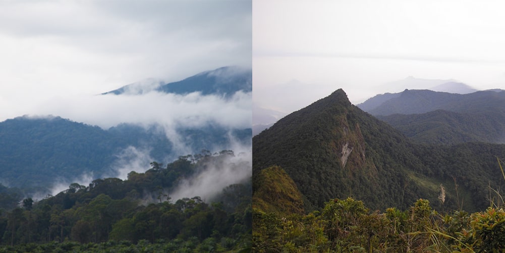
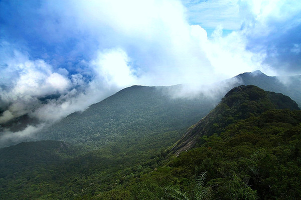
3. Gunung Belumut, Kluang
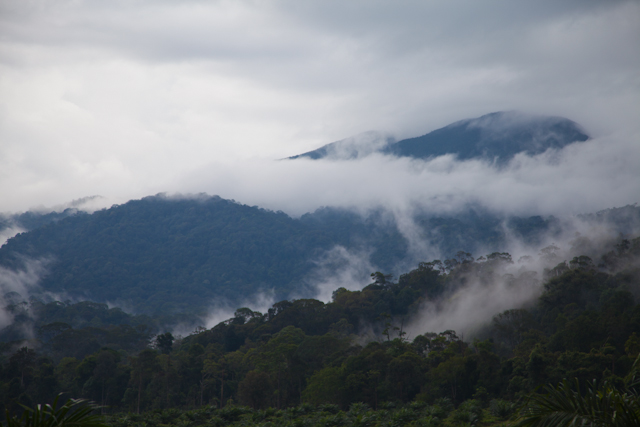
Second Highest Mountain in Johor
Location : Kluang, Johor
Coordinate : N02 06.30′ E103 32.20′
Average Elevation : 3,314 ft. / 1,010 m
Average time to climb to summit : 4 to 6 hours
Average time consuming to return to the foot : 3 to 4 hours
4. Gunung Besar
Location : Segamat, Johor
Coordinate : 2°31’13″N 103°8’53″E
Average Elevation : 3,398 ft. / 1,035 m
5. Gunung Lambak, Kluang
Location : Kluang, Johor
Coordinate : 2.0275° N, 103.3575° E
Average Elevation : 1,670 ft / 510 m
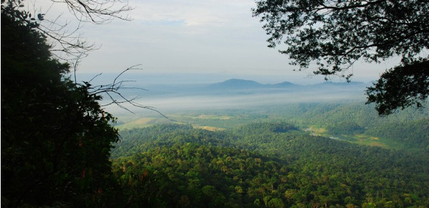
6. Gunung Ledang (Mount Ophir)
Fact : The highest mountain in Johor state
Location : Tangkak, Johor.
Coordinate: 02°22′27″N 102°36′28″E
Average Elevation : 4,186 ft. / 1,276 m
Average time to climb to summit: 5 to 6 Hours
7. Gunung Muntahak, Kota Tinggi
Location : Kota Tinggi, Johor.
Coordinate : 1.8528° N, 103.8108° E
Average Elevation : 2,339 ft. / 713 m
8. Gunung Panti, Kampung Lukut, Kota Tinggi
Location : Kota Tinggi, Johor
Coordinate : 1.8344° N, 103.9006° E
Average Elevation : 1,486 ft. / 485 m
9. Gunung Pulai (Mount Pulai)
Location : Pekan Nanas, Johor
Coordinate : 01°36′10″N 103°32′45″E
Average Elevation : 2,146 ft. / 654 m
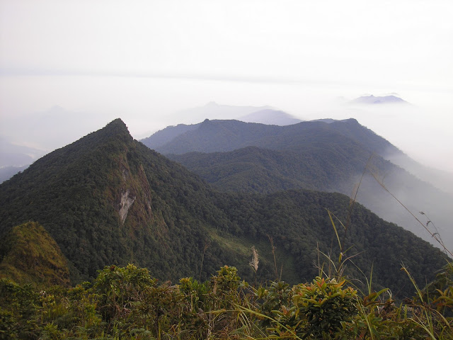
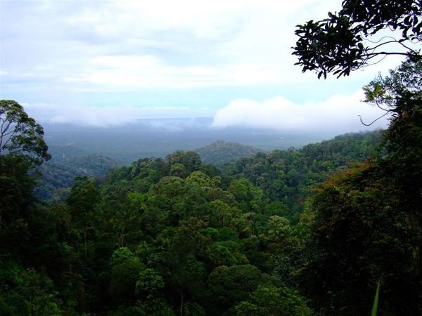
10. Gunung Tiong (Gunung ketiga tertinggi di negeri Johor)
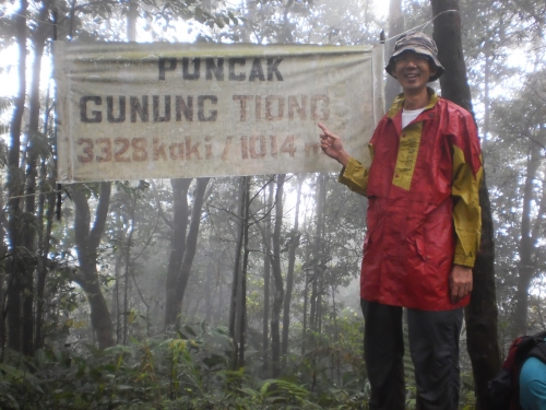
Third Highest mountain in Johor
Location : Taman Negara Endau Rompin, Selai, Johor
Coordinate : 2.4308° N, 103.2942° E
Average Elevation : 3,328 ft. / 1,014 m
Third lowest mountain in Johor
Location : Mersing, Johor.
Coordinate : 2°33’41.7″N 103°48’25.8″E
Average Elevation : 898 ft. / 273 m